With eLandfill it is possible to map your landfill emissions with your assets.
It was an existing feature already on the previous version and an eye-opener for operators. They usually get their emission maps on a PDF with or without their gas collection system. But new times are coming.
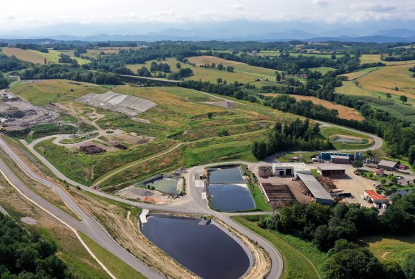
With eLandfill, we can upload the emission maps along the latest drone orthomosaics when available. It is possible to display data collected on the wells and other parts of the system simultaneously and do an analysis with a full view without special IT skills.
Another way to look at your data so that you can take action on your system and better understand your issues.